How Shared Rural Ground Became Recreation Space
Trace how shared rural ground became recreation space by comparing local maps, records and signs to distinguish past uses, ownership and access today.
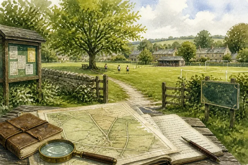
Who could use the village green, and what were they allowed to do there? The history of shared rural ground is local: grazing, gathering, passage and play could overlap, while ownership and access followed different rules. To understand a particular place, look for evidence of its uses and boundaries rather than assuming that “common” meant open to everyone.
Rights and uses
Common land does not simply mean land owned by everyone. In England and Wales, common rights can allow particular people to use resources such as pasture, turf or wood, while someone else owns the land itself. The rights and their holders vary by place. Scotland has a distinct legal history and framework, so do not apply an account from one part of Britain to another without checking local context.
A right to graze does not, by itself, establish a right to organise a sports event or cross every part of the land. A field might have served as pasture, a route and an informal gathering place at the same time. Recreation may have fitted around established uses without being the original purpose.
Start with the local name, remembered uses and any recorded rights; each may point to a different layer of the place’s history.
Boundaries over time
In different parts of Britain, land boundaries and arrangements changed through processes such as enclosure, sale, estate management and local legislation. Enclosure could consolidate scattered holdings or alter common rights, but its effects depended on the place and the specific arrangement. Some customary access was restricted or lost; other commons remained, and some land later became public open space. These are distinct histories, not one national sequence.
Compare historic maps with current maps, noting changes in field edges, lanes, paths and named plots. Parish minutes, estate papers and county or local archives may help explain those changes, although records can be incomplete. A mapped boundary shows how land was represented at a particular time; it does not on its own establish who held a legal right or how residents used the ground.
Say you are tracing a village green beside a former manor estate. You have an old map that labels a larger area as a single plot, parish minutes that later refer to a recreation ground, and a present sign naming the smaller space as publicly accessible. First, record what each source actually says and its date. Next, compare the map’s boundaries with the current fence and paths; then check the minutes for a decision about the ground and ask the council or archive whether there is a recorded designation or access arrangement. If the minutes describe a council-managed recreation ground and the current sign confirms public entry, you can report that the smaller space is managed for recreation and currently welcomes the public under the displayed terms. Unless the sources identify title or a legal right, you cannot infer who owns the surrounding land or claim that the whole former plot was public.
Recreation takes shape
Some places acquired an explicit recreational purpose through local decisions, donations, public provision or the adaptation of land already familiar to residents. A village green may host informal games and meetings; a recreation ground may be managed for organised sport, children’s play or community events. The date and route to that change differ from place to place, so look for local records rather than assuming a general timeline.
On the ground, a boundary hedge, noticeboard, marked pitch, worn path or commemorative plaque can prompt questions about use. A marked playing area suggests managed activity; it does not tell you when that activity began. Ask when facilities appeared and whether earlier uses continued alongside them.
Compare visible features with dated records before treating them as evidence of a particular history.
Access and management
“Open” can mean several things: public ownership, private land with public access, a specific right of way, or access offered under local conditions. A permissive path is not necessarily a public right of way. A recreation ground may welcome visitors while reserving a pitch or pavilion at certain times.
- Check the named owner or manager in council records or at the site; if the source identifies one, direct access questions there, but if it does not, ask the council or archive to clarify.
- Check whether a route appears on the definitive map of public rights of way; if it does, describe the mapped route rather than assuming access across the whole field, but if it does not, look for another documented access arrangement.
- Read entrance signs and published rules for restrictions; if a rule limits an activity or time, follow it, but if signs are absent or unclear, ask the land manager before relying on an assumption.
- Check whether the site has a booking system for pitches or rooms; if bookings are required, use the published process, but if no process is listed, contact the manager before planning an organised activity.
- Look for notices naming the body responsible for upkeep; if one is listed, send maintenance questions there, but if none is named, ask the parish or local council who handles them.
- Compare the current path and entrance signs with an older map; if the route has changed, seek a dated record or local confirmation, but if the sources conflict, describe the discrepancy rather than presenting one account as settled.
For questions about legal rights or a site’s formal designation, consult the relevant council or a suitably qualified professional; general descriptions of a place cannot settle those questions.
Decisions and voices
Ownership is only one part of how shared space works. Parish councils, recreation committees, charitable trusts, landowners and user groups may each contribute to maintenance or decisions. Their choices shape whether a site remains flexible or is arranged around particular activities.
Minutes and notices can show who proposed a playing area, what consultation took place, whether paths were retained and who took responsibility for upkeep. They may not capture every resident’s experience. Dog walkers, sports clubs, families and people crossing the village can value different uses of the same ground.
When reading local records, note whose views appear and whose are absent. A decision can explain when a facility was added without telling the full story of how residents experienced the change.
Questions about access?
How does common land differ from a recreation ground?
Common land involves particular rights and arrangements, not merely an open appearance. A recreation ground is managed or set aside for leisure, but its ownership and access conditions still need checking locally.
Does public access allow every activity?
No: access and permitted activity are separate matters. Check signs, bylaws, booking conditions and the land manager’s current rules before organising an activity.
Where can local land records be found?
Try the local or county archive, parish records, council, historic map collections and relevant rights-of-way records. A local history group may help identify names, but check important claims against documentary sources where possible.
What can old uses explain?
Earlier paths, rights and customs may help explain current boundaries or patterns of access. They can also give residents a clearer basis for discussing proposed changes, without proving that an old arrangement still applies.
Keep accounts precise
There is no single route from common pasture to village recreation ground. One site may retain grazing alongside public paths; another may be managed for sport; a third may be open by agreement. A useful local account separates these arrangements instead of treating them all as a simple story of land becoming public.
For a record of shared rural ground, note the place name, visible boundaries, signs, surviving features and sources consulted. The phrase shared rural ground recreation history is most useful when it leads to precise questions about which uses, rights and management arrangements the evidence actually supports. Keep the map, minutes and current access information together, so the next person can see both what is known and what remains uncertain.